
Software · AI · Data · Geospatial
Software, AI, and data systems for problems too large to work by hand.
We build software packages, applied AI, data pipelines, monitoring, and analysis, from satellite imagery to large document collections. Every figure we deliver links to its source.
Capabilities
What we do
We design, build, and run the systems. Most engagements start with a scoping study and are delivered in stages.
-
Software and product engineering
Software packages, internal tools, and web applications, built to be maintained after we hand them over.
-
Applied AI
AI features inside working software, with the data preparation and evaluation they depend on.
-
Data pipelines and platforms
Collection, cleaning, and storage for data that arrives in volume, with every record traceable to where it came from.
-
Monitoring and remote sensing
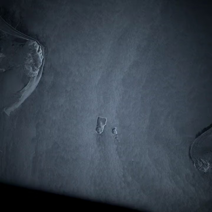
We pull imagery from public and commercial satellite programs, process it ourselves, and deliver the analysis on top of it. Scheduled checks on sites, regions, or sources, with alerts when something changes.
-
Research and analysis
Studies, briefs, and datasets that answer a specific question, with the method and sources written down.
Scale
We work with a lot of data.
Satellite archives, federal rules, court filings, patents, and securities records. These are the public collections our systems are built to work through, published by government agencies and space programs and open to anyone who can handle data at this size. That last part is the work. Hover over or tap an underlined term for a plain explanation.
-
Earth observation
178.7 Petabytes. One petabyte is 1,000 terabytes, so this archive would fill about 178,700 one-terabyte laptop drives.
Size of one space agency's Satellite, aircraft, and ground measurements of land, oceans, ice, and the atmosphere, stored for public use., 2025.
Source: federal space agency data metrics, FY2025
-
Earth observation
160 Terabytes. 160 TB is roughly what 160 one-terabyte laptop drives hold.
Added to that same archive every day, on average, in 2025.
Source: federal space agency data metrics, FY2025
-
Satellite archives
100M+
Individual A product is one processed file from a satellite pass, such as a single image scene ready for analysis. held by one European observation program, 2024.
Source: European program annual report, 2024
-
Regulation
107,262
Pages published in the federal government's The official daily publication where federal agencies print new rules, proposed rules, and public notices., 2024.
Source: federal publishing office statistics, 2024
-
Courts
557,376
Bankruptcy A petition is the court filing that starts a bankruptcy case. filed in federal courts, The federal fiscal year runs from October 1 to September 30. Fiscal 2025 ended September 30, 2025. 2025.
Source: federal judiciary annual statistics, FY2025
-
Markets
~4,700
Reports that public companies and investors must file with regulators, such as annual reports, quarterly results, and ownership changes. processed on a typical day.
Source: federal securities regulator
-
Public records
339,671
Requests from the public for government documents under the Freedom of Information Act. past their Agencies generally have 20 working days to respond to a request. These requests were still open after that. across federal agencies, end of fiscal 2025.
Source: federal records-request annual summary, FY2025
-
Patents
776,995
Patent applications waiting for Review by a patent examiner, who decides whether the invention qualifies for a patent. Applications wait in line before that review starts., April 2026.
Source: federal patent office, April 2026
-
Environmental review
2.4 years
The middle value. Half of these reviews took less than 2.4 years and half took longer. time to complete a federal The most detailed type of federal environmental review, required when a project could significantly affect the environment., 2021–2024.
Source: federal interagency report, 2025
Work
Selected work
-
Federal environmental review database
A structured record of federal environmental reviews, with a source for every field.
-
Long-term site monitoring
Several years of satellite imagery over documented sites, compared against the records.
-
Open datasets
Datasets we publish free under CC BY 4.0, with the first releases estimated for December 2026.
Contact
Get in touch
For projects, collaborations, or questions about our data.
Start a project Ask about client data Propose a collaboration